Orienteering run
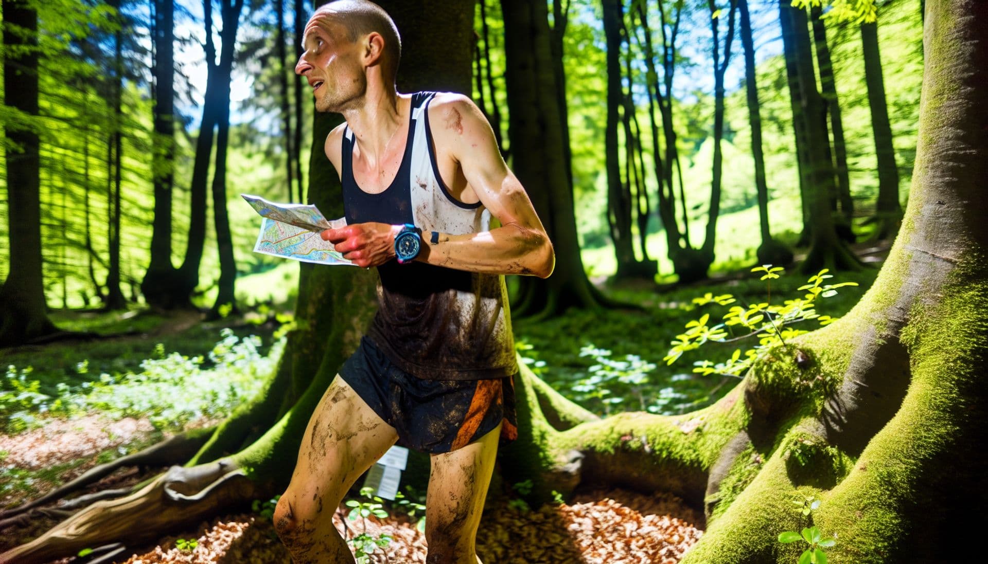
Fancy a real-world adventure? Get outdoors and keep your brain and body busy. Train your physical and orientation skills. Get the whole family or friends involved.

How do you do that?
Choose your route, you can pick up a map at the tourist information centre in the library, at the main station, at the zoo ticket office, at the castle or you can download it. The routes have three levels of difficulty. On the Shepherd's Wall there is one route of easy difficulty and one route of difficult difficulty, and around the castle there are seven routes in all three difficulties.
Two starting points were defined for the marked courses. The starting point for the trails around the castle is at the information centre in the library, and for the trails on the Shepherd's Wall the starting point is at the entrance to the zoo. The course map is identical to the map type for orienteering. It is therefore detailed with a large scale. The main difference from normal hiking maps is that the forest, which is good to run through, is drawn in white. On the map, the route to be walked or run is marked with checkpoints.
The aim is to find all its checkpoints in the real terrain and to note the checkpoint registration numbers in a table printed on the map. You will read these on the found checkpoint label as the last number. The first number is the checkpoint serial number and the second number is the track number. These numbers are listed on the map and must match the control found.
The control points of each course on the map are numbered with a serial number and connected by lines connecting the following controls. The control point connecting segments are usually just the shortest control point links and the actual path from point to point may be different. Your task is, in the shortest possible time, to find the optimal path between the points and fill in the table.
How to use the tracks?
Try to figure out how it works for yourself and walk your chosen route. This activity is suitable for children aged 6 and up. The ability to read and understand the description of the controls is a prerequisite.
Marking of controls
Individual controls are marked with metal plates (6 x 4 cm) with stamped numbers and fixed in the field in various ways.
On the Bear Trail, the labels are screwed to a wooden stake.
On the Chateau Trail, a label with a numerical code can be found on a wooden stake, chain, plastic clamp or screwed or glued to a rock, stone or other object.
Examples of individual habitats:


Difficulty of routes and safety
Please note that you do this activity with children at your own risk. The tracks are located in quite safe and clear terrain away from traffic. The Shepherd's Wall area is already close to open forest terrain and we recommend that you go on these trails after training in the terrain around the castle, which is park-like and clear.
Information on individual routes
Bear Trail on the Shepherd's Wall - start at the ZOO car park
Bear Trail A, length approx. 1 100 m, easy route
Bear Trail B, length approx. 1 700 m, difficult route
Castle trail - start at the parking lot in front of the library
Castle Trail 1, length 450 m, easy route
Castle Trail 2, length 700 m, easy route
Castle Trail 3, length 1,400 m, moderately difficult route
Chateau trail 4, length 1 350 m, moderately difficult trail, closed in winter
Chateau trail 5, length 1 000 m, moderately difficult trail, closed in winter
Chateau trail 6, length 1 250 m, difficult route, closed in winter
Chateau trail 7, length 1 200 m, difficult route, closed in winter
Classification
Easy route
The route is several hundred metres long, with a small number of easy checkpoints (about 5) and clear and safe terrain.
Route moderately difficult
More checkpoints and a longer course than in the previous stage (500 to 800 m). Due to the length of the route and the number of controls, the visibility in the terrain is already worse.
Difficult route
The route already reaches a length of over 1,000 m, a large number of checkpoints (about 10). Some checkpoints are more difficult to access, in steep terrain, on a rock, it is necessary to climb. Suitable for physically dexterous children.
Route verification
Your posts make it possible to enjoy Decin online. Tag your Instagram photos #idecin and we'll be happy to feature them here.
Tourist Portal of the Statutory City of Decin
Declaration of accessibilityinfo@idecin.cz+420 412 532 227