Running trail
Tip for a great trail run Through the Czech Gate from Michal Burda of HUDY sports.
Route length: 31.5 km, ascent: 1052 m, descent: 1053 m
From the car park, run under the railway line through the tunnel and turn right. At the barriers we turn left and continue running along the yellow tourist marker, which will take us through Maxičky to the crossroads "U Buku", where we will continue along the plateau on the green marker. This will take us to the Czech-German border "Česká brána", where we will turn slightly to the right, cross the first road and join the yellow trail, which we will run along to the right. This will lead us to a major crossroads where we turn right again and "roll" towards the village Schön. We'll follow the yellow marker around Zirkelsteinwhere we can see views of the table mountains in Saxony, all the way to this village. In the village, by the Old Timer Museum, we turn right and run to the Elbe. Then the trail continues along the river, where you can enjoy the view of the walls of the deepest sandstone canyon in Europe. We will run along it until we reach Of Lower Zleb, an important centre of sport climbing. At the ferry, we run right under the track and then turn left until we reach a yellow sign, after which we run left to Děčín.
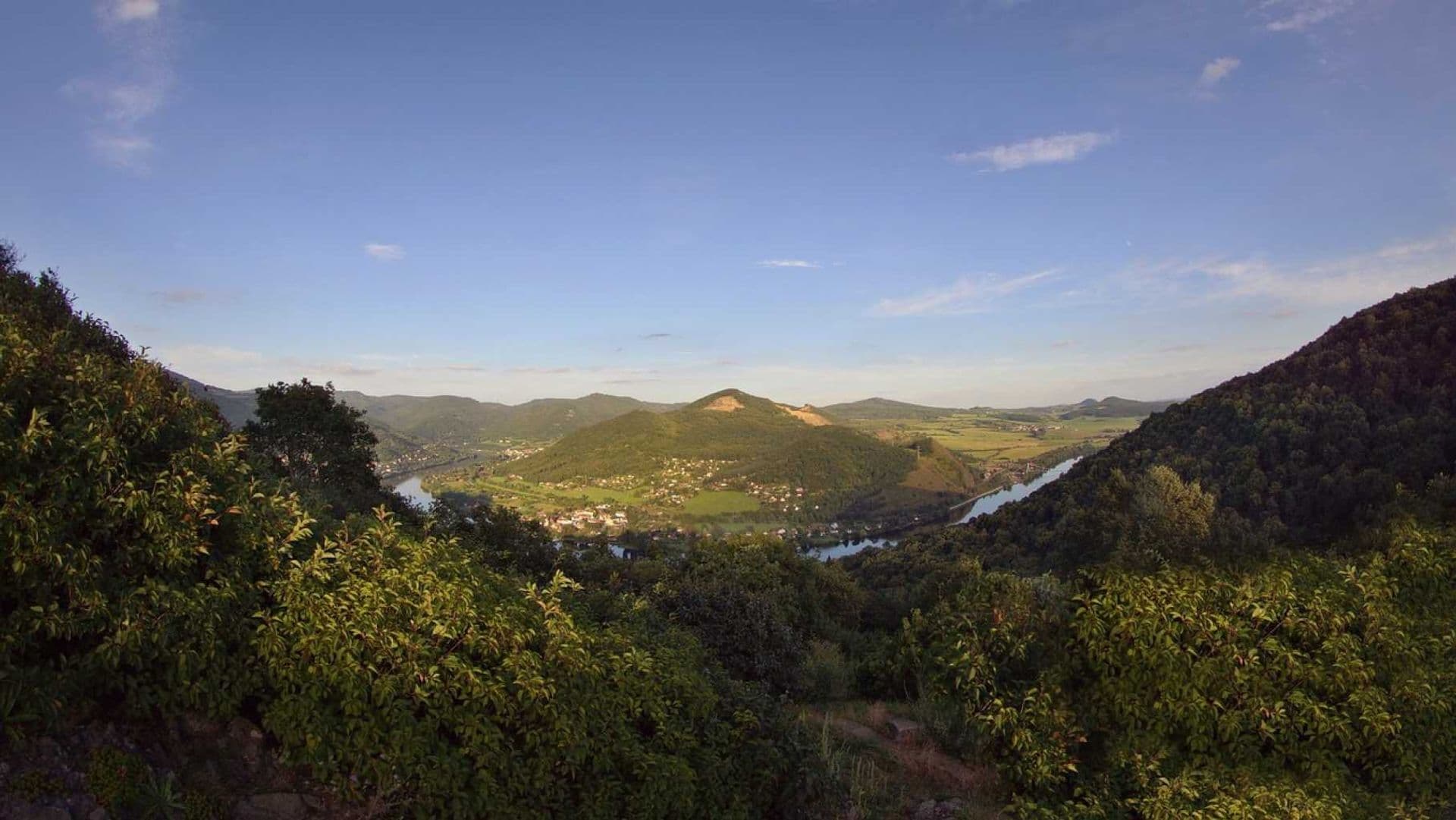
On the way there is a beautiful view of the climbers on the opposite shore. V Devil's Water we will join the green sign and it will take us back to the bridge from where we started on the track.

Your posts make it possible to enjoy Decin online. Tag your Instagram photos #idecin and we'll be happy to feature them here.
Tourist Portal of the Statutory City of Decin
Declaration of accessibilityinfo@idecin.cz+420 412 532 227