Váš prohlížeč je zastaralý!
Pro správné zobrazení těchto stránek aktualizujte svůj prohlížeč.Aktualizovat prohlížeč nyní
Hunger rock
Decin’s “hunger rock” is one of the oldest hydrological landmarks in central Europe.
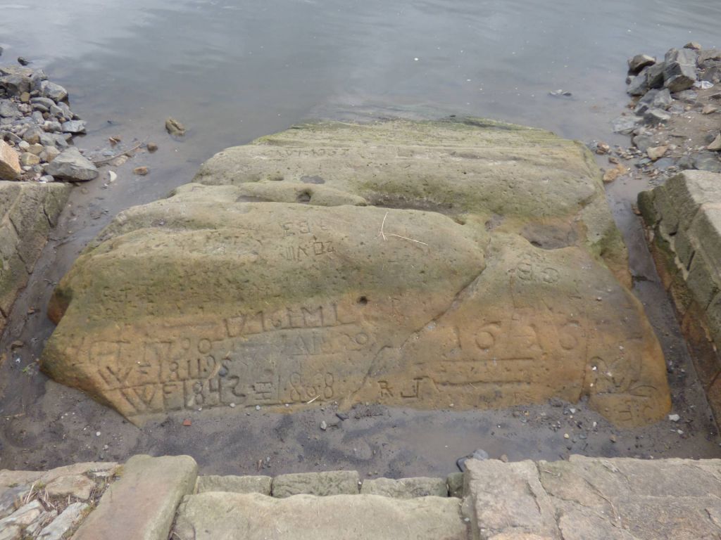
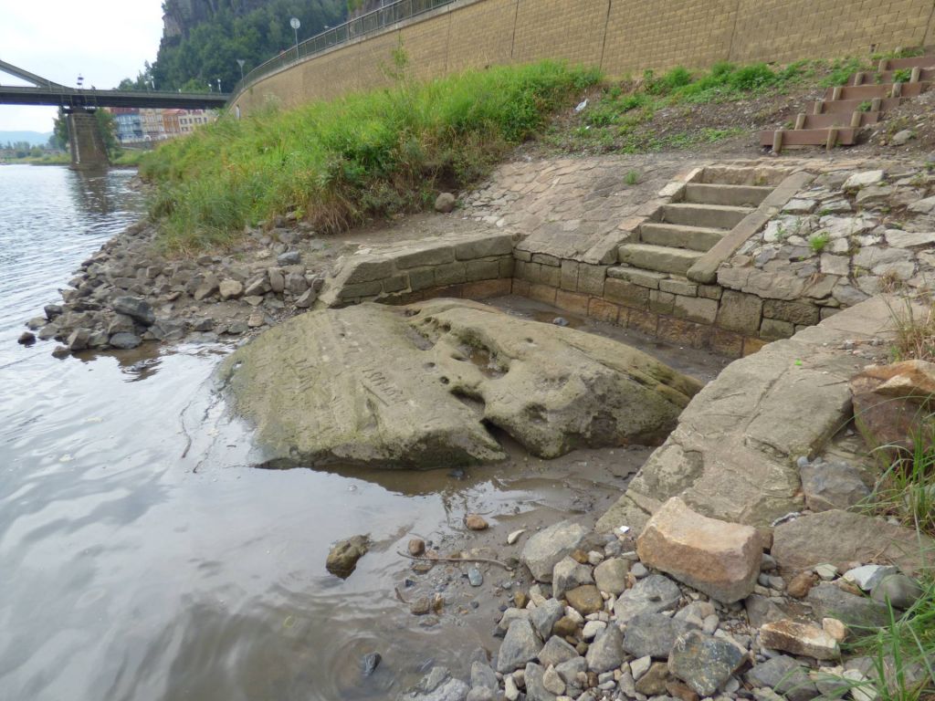
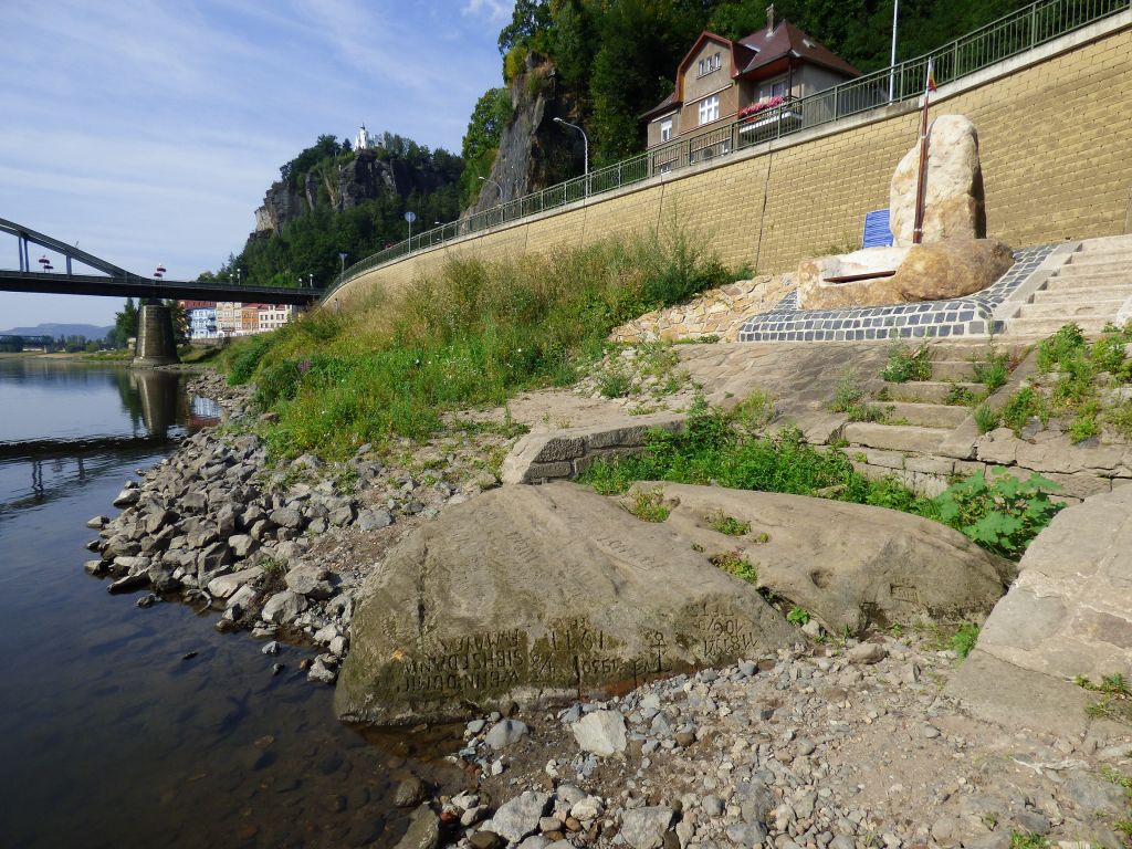
Located just off the left bank of the Elbe River as it passes below Tyrs Bridge in the center of town is a rock outcropping that becomes visible when water levels are extremely low. Known as “hunger rock” (“hladovy kamen” in Czech, “Hungerstein” in German) it warns locals that lean times are ahead.
In times of drought, crops fail and ships stand at anchor, the river too shallow to carry them. In older times low water meant that supplies of salt were cut off as well.
People carved records of these hard times into the rock.
The oldest legible marking is dated 1616. Written in German, the message reads, “Wenn du mich siehst, dann weine.” (When you see me, weep.) A later Czech inscription strikes a lighter tone. “Neplac holka, nenarikej, kdyz je sucho, pole strikej.” (Don't worry, girl, and don't you cry. Just water your field when it gets dry.)
After the Moldau, upstream, was dammed in 1926, the rock made its appearance considerably more often. Today it is visible on an average of 126 days every year. Should a dam ever be built below Decin (attempts to launch such a project date back to 1653), the rock mass would disappear forever under the water's surface and the fat years would be here to stay. At least according to legend.
The extremely dry weather conditions that have predominated in recent years have revealed a second “hunger rock” near Techlovice.
Getting there
Take the bus to the “Tyrsuv most” stop.
Or park at the large lot in front of the municipal library and visitor center, or the smaller lot on the other side of the river by the bridge. There’s also a parking lot near the roundabout not far from the main train station.
Thanks to your contributions, Děčín can also be admired online. Tag Instagram photos with #idecin and we'll show them here.